Article V · The City Around It · Clause 5.3
Before the Research Park
A research park sounds like a blank slate. The documented record of what stood on the land first says otherwise.
- Instrument
- Clause 5.3
- Filed under
- The City Around It
- Schedules attached
- 2
- Reading
- 8 min
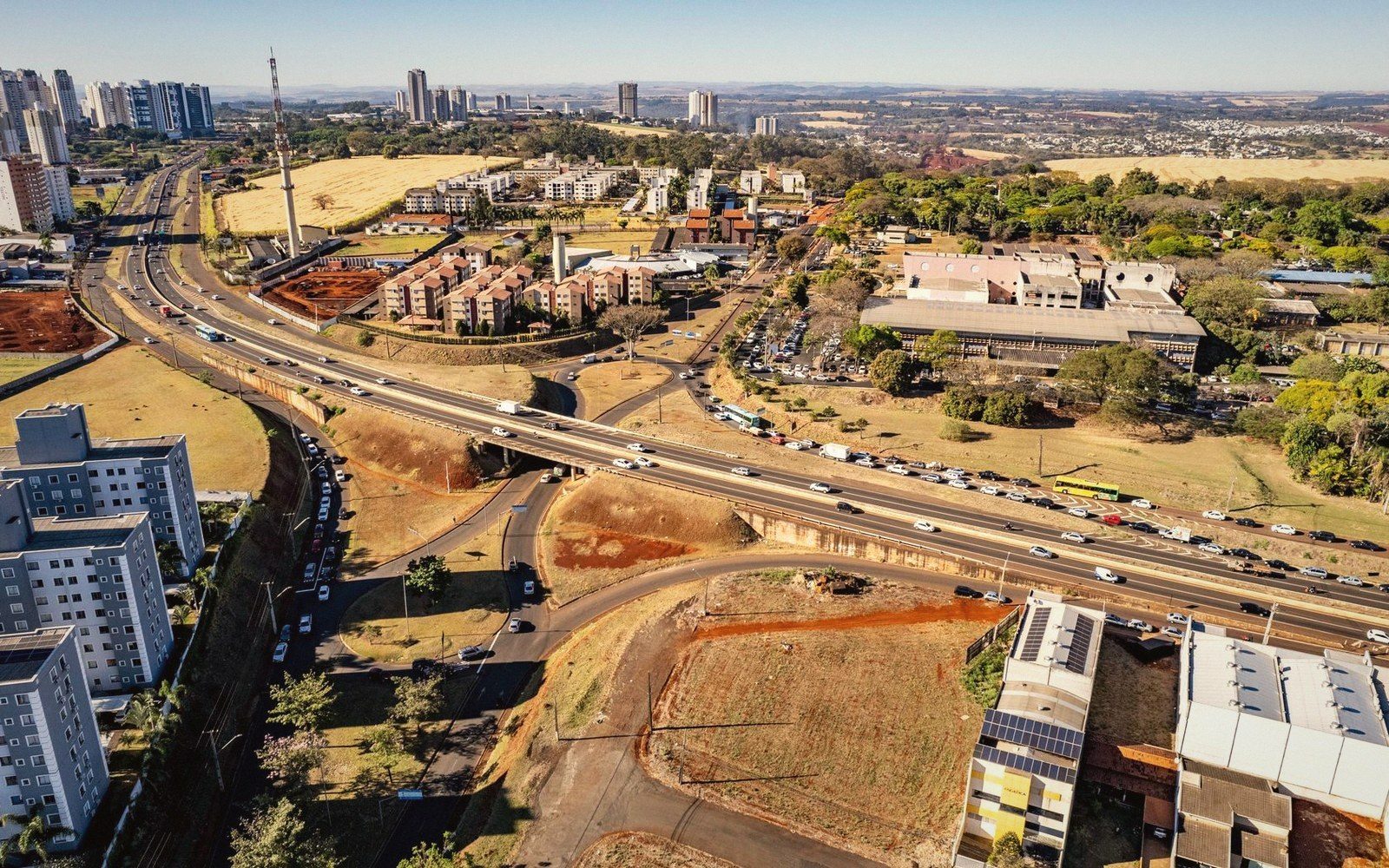
What the land was before the deal was signed
A research park sounds like a blank slate. The name conjures raw acreage, greenfield development, the neutral language of economic planning — incubator suites, flex lab space, fiber infrastructure. What the name rarely announces is what stood there before the ground was cleared, or who lived there, or what the city agreed to forgo in order to make the project happen.
The documentary record tells a more complicated story. In a significant number of the major university-adjacent research and technology parks built in the United States since the 1950s, the land involved was not vacant. It was residential, or industrial, or both — and the process of conversion followed the same legal and financial instruments that had cleared other urban land in the postwar decades, often with comparable consequences for the people whose tenure on that land was informal, poor, or simply unwelcome to the parties drawing the maps.
Three cases the record supports
Morningside Heights and Columbia's Manhattanville corridor. Columbia University's ambitions in West Harlem stretch back further than the university's 2009 expansion plan, but that plan is where the land-use record becomes fully legible. The university identified roughly seventeen acres of the Manhattanville neighbourhood — a working industrial and commercial district bounded roughly by 125th and 133rd Streets — as the site for a new campus expansion that it described, in its planning documents, as a research hub for science and engineering. The site was not empty. It contained auto repair shops, warehousing, small manufacturers, and residential tenants in upper floors. The city's role was decisive: the Bloomberg administration used the power of eminent domain to condemn properties that the university could not acquire through private negotiation. The state's highest court, the Court of Appeals, upheld the condemnation in 2010 on the grounds that the area qualified as "blighted" under New York's urban renewal statute — a designation that was itself contested, given that the businesses operating there were functional, licensed, and in many cases long-established. Columbia ultimately committed to a community benefits agreement that included local hiring provisions and affordable housing contributions, but the physical displacement of the industrial tenants was carried out as planned. The research campus opened in phases beginning in the 2010s.
Stanford and the evolution of the Industrial Park. The Stanford Research Park in Palo Alto is the oldest and most cited example of the genre, opened in 1951 on land that the university had held as part of its original Leland Stanford bequest. That founding story is accurate as far as it goes. The land itself was agricultural — used for grazing and some farming — and the surrounding area was still largely undeveloped when Frederick Terman, then dean of engineering, persuaded the trustees to lease portions of it to technology firms. The displacement narrative here is not residential eviction but something longer and more diffuse: the research park was among the primary catalysts for the transformation of the Santa Clara Valley from an agricultural economy into what became Silicon Valley, a transformation that in subsequent decades produced some of the most severe housing affordability pressures in the United States. Stanford's land-use decisions in 1951 did not clear houses; they helped create conditions in which, decades later, working-class and middle-income residents would find the surrounding municipalities effectively unaffordable. That is a different kind of displacement, harder to attribute to a single decision, but not absent from the record.
The University of Pennsylvania and West Philadelphia. Penn's involvement in the transformation of its surrounding neighbourhood is among the most thoroughly documented cases in the literature on urban universities and real estate. Beginning in the 1950s, the university participated in urban renewal efforts that cleared portions of West Philadelphia, including blocks that had housed Black residents displaced by earlier clearance projects. The university's long-term land strategy, pursued in formal partnership with the city and the Philadelphia Redevelopment Authority, progressively shifted the character of the corridor between the Penn campus and what is now University City. The University City Science Center, chartered in 1963 and developed on land assembled through the redevelopment authority, became the institutional vehicle for this transformation — billed as the first urban research park in the United States. The Science Center site had been, in the years before clearance, a predominantly Black residential neighbourhood. Roughly five hundred families were displaced, a figure documented in the work of historians who have examined the redevelopment authority's own records. The Science Center's founding institutions included Penn, Drexel, and several other area universities and hospitals; the federal government provided urban renewal funding; the city provided the land-assembly machinery. The resulting park has since been expanded and rebranded multiple times, and the surrounding district is now a significant biomedical cluster.
The instruments that made it possible
These cases share a common infrastructure: the federal urban renewal program, active from 1949 through the early 1970s, which provided cities with the funding and the legal authority to condemn and clear land defined as blighted, and to convey it to redevelopment authorities and ultimately to private or institutional buyers at prices below market. Universities were among the most active beneficiaries of urban renewal clearance, a pattern documented by urban historians including Mindy Fullilove, whose research traced the relationship between university expansion and neighbourhood demolition across multiple American cities.
The legal concept of blight was, throughout this period, elastic enough to encompass functional neighbourhoods. Courts gave local governments wide deference in applying the designation, and the populations most affected — renters, small business owners, communities of colour — had limited legal recourse once condemnation proceedings began. By the time the research park framework became a formal economic development strategy in the 1960s and 1970s, the land-assembly tools were already in place, and universities knew how to use them.
Property tax exemption compounded the fiscal impact. Land conveyed to a university or to a university-affiliated nonprofit development entity typically left the municipal tax roll at the moment of transfer. In Philadelphia's case, the blocks that had been assessed and taxed as residential property became, after redevelopment authority acquisition and transfer to the Science Center, part of a nonprofit research institution's footprint — generating no property tax revenue for a city already dealing with the fiscal consequences of deindustrialisation. Whether the long-run economic activity generated by the research park offset those losses remains genuinely contested; the short-run fiscal and human costs of clearance are not.
What changed in the record after 1970
Federal urban renewal appropriations ended with the Housing and Community Development Act of 1974, which folded those funds into block grants with fewer categorical strings. Research park development did not stop, but the land-assembly mechanism changed. Universities and their development partners turned increasingly to negotiated acquisition, tax increment financing districts, state-level economic development authorities, and in some cases the straightforward use of institutional capital to assemble parcels over time. Eminent domain remained available — as Columbia's Manhattanville experience shows, it survived urban renewal's formal end — but it required a separate political decision each time, with correspondingly higher visibility and contestation.
The community benefits agreement became, in this later period, the standard instrument for managing opposition. These agreements, typically negotiated between the university or its development partner and coalitions of neighbourhood organisations, commit the institution to various forms of local reinvestment: affordable housing, workforce development, local procurement preferences, community use of facilities. Their legal enforceability varies considerably, and the track record on compliance has been the subject of ongoing disputes in several cities. They are not the same as not displacing anyone. They are the mechanism by which displacement is negotiated, compensated, and — depending on one's reading — either mitigated or legitimated.
Reading the land
The category of "research park" carries a neutrality that the historical record does not entirely support. Where a park was built on genuinely vacant or agricultural land, the story is one of development and its second- and third-order effects. Where it was built on cleared urban land, the story includes what was there before, who bore the cost of clearance, and what the city gave up when the land moved off the tax roll and into institutional hands.
Those are institutional decisions, made by boards, administrators, city councils, and federal agencies — not the accidental product of market forces. The planning documents, redevelopment authority minutes, and community benefit agreements are part of the public record in most of these cities. They reward reading with a granularity that the subsequent language of innovation districts and knowledge economies tends to obscure.
Also in The City Around It
Related clauses